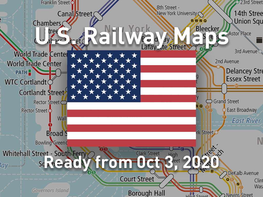
Our app “World Transit Maps”, which is popular all over the world, is adding “United States” to the service territories. It is the first in the Americas. The railway maps of 14 areas covering the entire United States will be distributed free of charge from Saturday, October 3, 2020.
It includes all rail transports. For example, the long-distance and intercity railroads “Amtrak” that connect major cities in the US, commuter railways, subways, metros, and light rails that run in metropolitan areas such as New York and Los Angeles. Since the location of the airport is also displayed, you can easily understand the positional relationship with the downtown. That would help you planing your trip.
In addition, you can use the familiar functions of the app such as the service status of each lines or the transit route search.
(Notice) In order to prevent the spread of COVID-19, a lot of transportation system in the United States is taking special measures such as suspension or change of operation system. Most of these are not shown on our railway maps. Please check the operation status information and use it at your own risk.
With this addition, the number of countries / regions supported by the app “World Transit Maps” is now 10. Currently, we provide the railway maps for the following countries / regions.
[Asia]
- Japan
- South Korea
- Taiwan
- Hong Kong
- Thailand
- Malaysia
- Singapore
[Europe]
- United Kingdom
- France
[North America]
- United States [New]